

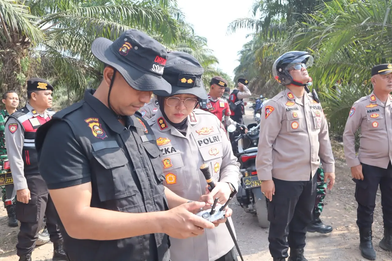
inp.polri.go.id - Ogan Ilir. The Ogan Ilir Sub-regional Police, are strengthening their forest and land fire prevention measures ahead of the dry season by optimizing aerial monitoring technology and ensuring the readiness of water sources for firefighting.
These measures were implemented through integrated patrols led by Ogan Ilir Sub-regional Police Chief, Superintendent Rizka Aprianti, in the North Indralaya District, Ogan Ilir Regency, on Friday (8/7/2026).
The activity was carried out following a face-to-face meeting between Rizka and village and sub-district communities throughout the North Indralaya District at the Parit Village Sports Hall. The patrols are part of efforts to strengthen early detection, prevention, and preparedness for handling Karhutla in areas with potential vulnerabilities.
During the patrols, Ogan Ilir Sub-regional Police personnel conducted sweeps at prone areas through ground patrols and aerial surveillance using drones. This technology is used to cover large areas, including peatland areas with terrain that is difficult to access by vehicle.
Aerial monitoring allows officers to obtain a more rapid and comprehensive picture of the area's condition, including identifying potential hotspots, monitoring vegetation conditions, and detecting possible land clearing activities using fires.
The use of drone technology also demonstrates that forest and land fire prevention does not rely solely on post-fire response, but rather focuses on strengthening early detection and mitigation systems.
In addition to ensuring regional surveillance, Rizka and her entourage also inspected reservoirs, water reservoirs, and rivers that could be used as water sources in the event of a forest and land fire.
Rizka stated that the use of drone technology is intended to optimize monitoring of areas prone to forest and land fires and to expedite detection of potential fires.
"Peatlands are difficult to reach by vehicle. Therefore, we utilize drones for aerial monitoring, allowing for more effective monitoring of large areas. This approach allows for faster detection of potential fires, allowing for early intervention," said Rizka
According to her, preventing forest and land fires requires the involvement of all elements of society. Therefore, the public is urged not to clear land by burning and to immediately report any hotspots or activities that could potentially trigger a fire to officers.
(ad/ta/pr/rs)