

Inp.polri.go.id - Jakarta. The Indonesian National Police (INP) utilized satellite data and its centralized Crisis Monitoring Center to accelerate land and forest hotspot detection and fire fighting response during Operation Aman Nusa II, which ran from July to September 2026.
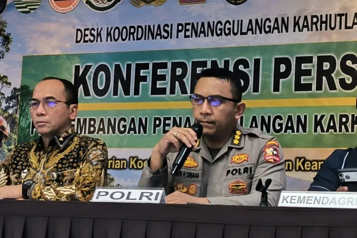
Data Analysis and Collection Department Chief Senior Superintendent Erwin Sinaga explained during a press conference at the Coordinating Ministry for Political and Security Affairs on Thursday (1/10/2026) that satellite data feeds directly into operational dashboards.
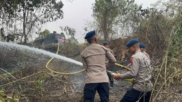
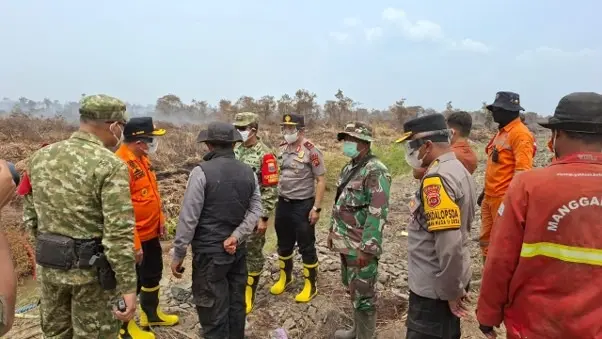
Field Officers are immediately dispatched via land and air patrols to verify hotspots. When active fires are confirmed, suppression units deploy, and progress is logged daily through the Daily Operating Reporting System (DORS) application.
To support the operation, thousands of officers were deployed across high-priority regional police commands, including 4,764 officers in Riau, 3,343 in Central Kalimantan, 1,821 in East Kalimantan, 1,611 in West Kalimantan (with an additional 300 Brimob officers), 1,000 in South Sumatra, 873 in Jambi, and 778 in South Kalimantan.
In addition, 403 educational officers from the INP Education and Training Institution (Lemdiklat) were deployed across regional offices to conduct community outreach on fire prevention and the distribution of specialized anti-fire equipment and strict legal enforcement against violators.
(mg/ad/pr/rs)