

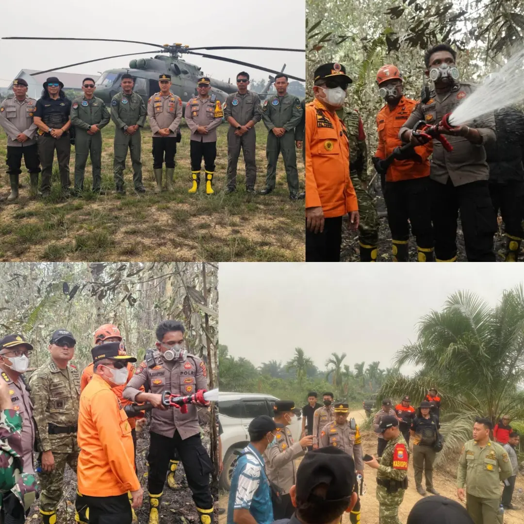
inp.polri.go.id - Jambi. The Jambi Regional Police, along with the Jambi Provincial Government, the Indonesian National Armed Forces (TNI), the Meteorology, Climatology, and Geophysics Agency (BMKG), the National Search and Rescue Agency (Basarnas), the National Disaster Management Agency (BNPB), and the Regional Disaster Management Agency (BPBD), conducted air and land monitoring of wildfires in the Berbak Sembilang National Park (TNBS) area in East Tanjung Jabung Regency, and the Kumpeh Ilir area in Muaro Jambi Regency.
This activity was carried out to monitor the latest fire hotspots, support the mobilization of personnel and logistics, and ensure integrated forest and land fire management in the affected areas.
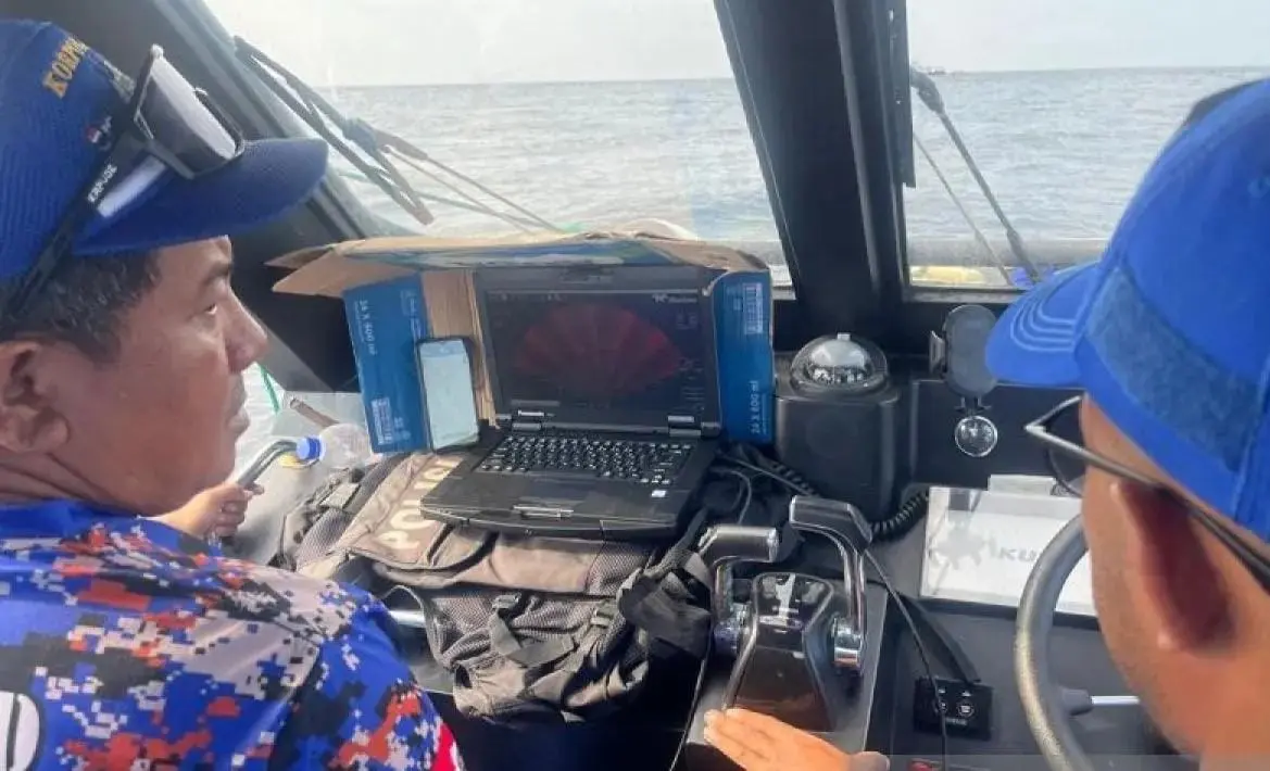
The aerial monitoring used an Indonesian Army MI-17V5 helicopter with registration number HA-5159 which took off from Sultan Thaha Airport in Jambi at 11:11 a.m. and landed in a field in Berbak District at 1:53 p.m. The group then proceeded to the fire hotspot in the TNBS area by land and water, using the Rambut River access.
Based on monitoring results, the area of burned land is estimated to reach 186 hectares. This area includes approximately 11 hectares of community-owned oil palm plantations bordering the TNBS area and approximately 175 hectares of scrubland in Rantau Rasau Village, East Tanjung Jabung Regency. Both locations have reportedly been successfully extinguished.
Meanwhile, the fire within the TNBS forest area is estimated to have burned 10 hectares. Of this area, approximately 4.5 hectares have been extinguished, while another 5.5 hectares are still under extinguishing and cooling.
The joint team continues to monitor and respond to the remaining affected areas, paying close attention to field conditions and access to the fire hotspots. Cooling efforts are also an important concern to prevent the reappearance of hotspots, especially in areas that have the
potential for recurring fires.
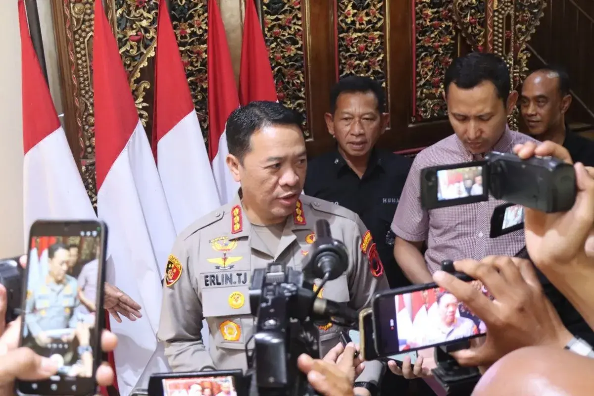
Jambi Regional Police Chief Inspector General Widodo, through the Head of Public Relations of the Jambi Regional Police, Senior Superintendent Erlan Munaji, stated that aerial and ground monitoring is part of efforts to strengthen cross-agency coordination in handling forest and land fires in Jambi Province.
"Handling forest and land fires requires cooperation and synergy from all parties, including the public. Direct monitoring is crucial for understanding the current situation on the ground, determining appropriate response steps, and ensuring that areas still burning can be immediately addressed," said Erlan.
The Jambi Regional Police affirmed their commitment to continue synergizing with all stakeholders in handling forest and land fires, from monitoring, extinguishing, cooling, to prevention and law enforcement efforts in accordance with applicable regulations.
(ad/ax/pr/rs)