

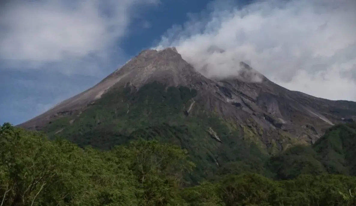
Inp.polri.go.id - Yogyakarta. Mount Merapi, situated on the border of Yogyakarta and Central Java, released two pyroclastic flows early Monday morning (16/3/2026), reaching a maximum distance of 1.6 kilometers.
The Yogyakarta Geological Disaster Technology Research and Development Center (BPPTKG) monitored the activity between midnight and 6:00 a.m., noting that the flows traveled southwest toward the Krasak River. In addition to the "hot clouds," observers recorded 49 separate avalanche earthquakes and significant lava discharges reaching up to 1.8 kilometers downstream.
"Two instances of pyroclastic flows were observed heading southwest with a maximum travel distance of 1,600 meters," said BPPTKG Head Agus Budi Santoso on Monday (16/3/2026), as cited by antaranews.com.
While the mountain remains visible under clear skies, the agency noted ongoing morphological changes in the southwest lava dome due to continuous volcanic activity. Mount Merapi’s status is maintained at Level III (Alert), with authorities warning residents to stay clear of river valleys within a seven-kilometer radius of the summit to avoid potential lava flows and lethal volcanic gases.
(mg/inp/pr/rs)