Second Earthquake This Afternoon: Magnitude 4.3 Tremor Hits Northwest of Sarmi, Papua
A magnitude 4.3 earthquake struck 57 kilometers northwest of Sarmi, Papua, marks the second tremor reported by BMKG in the region on Friday.



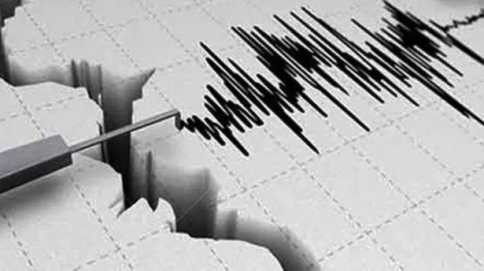
A magnitude 4.3 earthquake struck 57 kilometers northwest of Sarmi, Papua, marks the second tremor reported by BMKG in the region on Friday.
A shallow magnitude 3.5 earthquake struck 50 kilometers southwest of Sarmi, Papua, on Friday morning. Read the real-time BMKG seismic report. Read more.
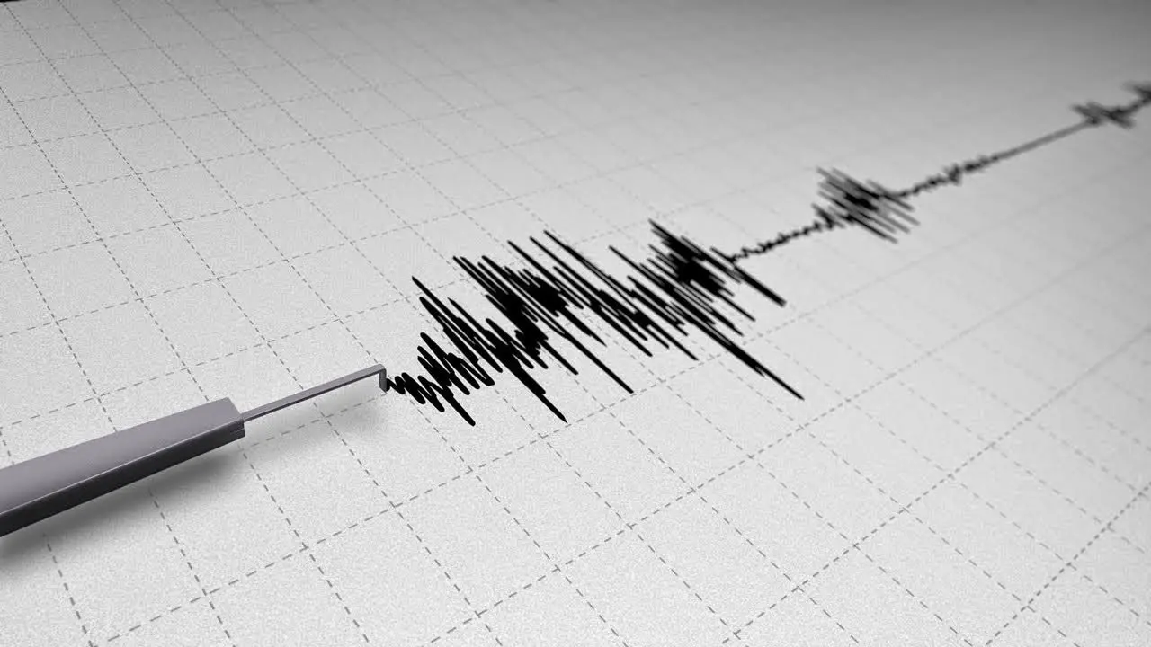
A magnitude 4.5 earthquake struck 134 kilometers northeast of Bitung, North Sulawesi, on Thursday morning at a depth of 30 kilometers. Read the BMKG report.
A shallow magnitude 4.9 earthquake struck 50 kilometers southwest of Polewali Mandar, West Sulawesi, on Thursday morning. Read the full BMKG report.
A magnitude 4.5 earthquake struck northwest of Tahuna, Sangihe Islands, North Sulawesi. Read details from the Meteorology, Climatology, and Geophysics Agency (BMKG).
A 4.1 magnitude earthquake hit southwest of Pesisir Barat, Lampung, at 10:33 WIB today. BMKG reported no damage, data still under review. Read more here.
BMKG reported a 5.3 magnitude earthquake northeast of Tahuna, Sangihe Islands, North Sulawesi, at a depth of 10 km. Read the full details here.