


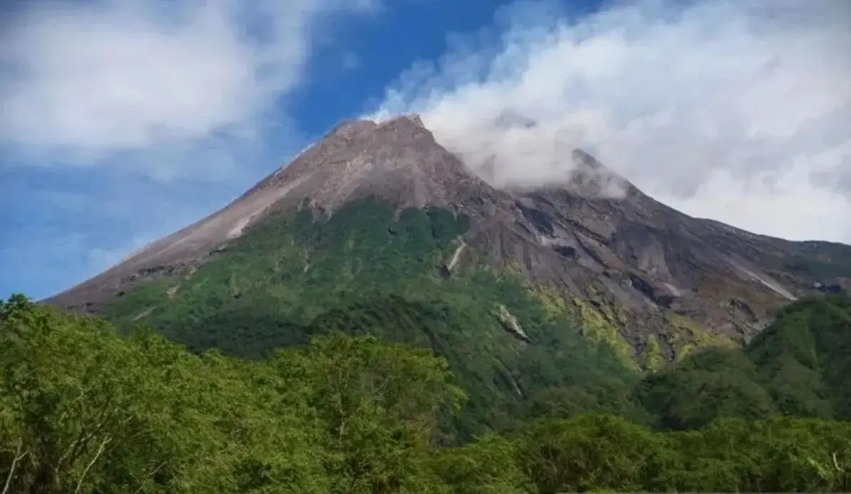
Inp.polri.go.id - Yogyakarta. Mount Merapi, located on the border of Yogyakarta and Central Java, emitted six pyroclastic flows on Sunday, with the farthest reaching 2.5 kilometers southwest of the crater, according to Indonesia’s Geological Disaster Technology Research and Development Center (BPPTKG).
“Magma supply remains active and could trigger more pyroclastic flows within the danger zone,” said BPPTKG Head Agus Budi Santoso in a statement on Sunday (2/11/2025), as reported by antaranews.com
The first flow was recorded at 11.04 am local time with a 2.5 km reach, 59 mm maximum amplitude, and 279.5-second duration. Subsequent flows ranged between 1.5 and 2 km toward the same direction. Mount Merapi’s alert level remains at Level III.
Authorities warned residents to stay clear of potential hazard zones along the Boyong, Bedog, Krasak, and Bebeng rivers, where pyroclastic flows and lava may reach up to 7 km. Residents are also advised to watch for secondary volcanic mudflow during rain.
(mg/inp/pr/rs)