

inp.polri.go.id - Jakarta. The Social Ministry sends a team to map regions potentially hit by the megathrust in Mentawai Island, West Sumatra.
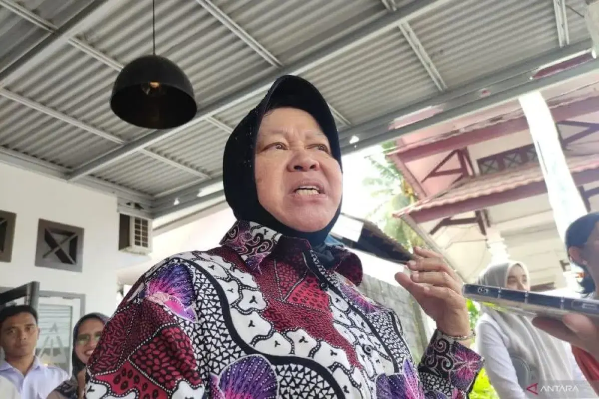
The Social Minister Tri Rismaharini says the team members consist of the selected Social Ministry Disaster Preparedness Cadets (Tagana) and a team from the Meteorology, Climatology and Geophysics Agency (BMKG).
She reveals that every person that is within the mapped area will be trained with survival techniques in the face of earthquakes and tsunamis. Moreover the mapped area will be facilitated with evacuation zones based on BMKG models.
“For Mentawai, when it’s ready (the mapped area and disaster-ready village), we want at least the people to understand on how to evacuate themselves,” says Minister Risma.
Evacuation posts for disaster will also be prepared by the team. According to Risma, if the previous evacuation posts are in governor, regent, and district head offices, now the posts are almost in every corner of the village.
Through this way, it would cut short the distribution time for the villagers hit by the disaster, and also speed up assistance efforts if conditions escalate in the field.
(ad/ndt/pr/nm)